
Bengal Aviation Initiative
A Premier UAV Drone Pilot Training & Maintenance Academy in Bangladesh, operating specialized drone academies, world-class Drone Maintenance Training, nationwide rural secondary school STEM drone outreach, and technical assistance collaborations with government and international organizations.
Leadership & Advisers
Guiding strategic vision, aeronautical safety, engineering excellence, and national unmanned aviation progress at Bengal Aviation Initiative.
Board & Executive Leadership
Zia Noor Nabi
Presiding over the strategic direction, institutional partnerships, and regulatory leadership of Bengal Aviation Initiative.
Md Monirul Islam
Executive Director
A.S.M Rashedul Huq
Executive Director
Board of Advisers
Distinguished aviation specialists, engineering scholars, and institutional leaders providing strategic advisory counsel.
Advisory appointments will be published shortly.
Advisers can be appointed and added through the administrative management console.
Pioneering Bangladesh's Remotely Piloted Aircraft Systems (RPAS)
Bengal Aviation Initiative (BAI) is a Premier UAV Drone Pilot Training & Maintenance academy in Bangladesh. It operates specialized academies across Bangladesh for Remotely Piloted Aircraft Systems (Drones) pilots, delivering comprehensive flight instruction from Level 1 fundamentals through to Level 3 BVLOS, tactical payloads, and precision aerial survey.
Concurrently, BAI delivers world-class Drone Maintenance Training—including Type Rated enterprise airframe diagnostics, Non-Type Rated avionics and telemetry modules, and comprehensive Diploma level courses. BAI is dedicated to nationwide rural secondary school STEM drone outreach and provides technical assistance and collaboration across multiple projects to and with government departments and international organizations.
Four Core Operational Pillars
CAAB DRONE REGULATORY ALIGNEDRPAS & UAV Drone Pilot Academy
Multi-rotor, fixed-wing UAV, and VTOL flight training with Level 1 foundational, Level 2 commercial utility, and Level 3 advanced BVLOS & tactical payload certifications.
Drone Maintenance & Avionics Engineering
World-class Type Rated enterprise UAV maintenance, Non-Type Rated avionics and RF telemetry, and multi-semester Diploma level courses in drone engineering.
Rural Secondary School STEM Drone Outreach
Nationwide hands-on workshops in rural secondary schools across all 64 districts, teaching drone assembly, aerodynamics, coding, flight safety, and certifying secondary students with Level 1 credentials.
Government & International Technical Assistance
Providing specialized technical advisory and aerial project collaboration to and with CAAB, government ministries, disaster management, and international organizations.
WHAT WE DO
Advancing unmanned aviation frontiers across Bangladesh through hands-on technical workshops, competitive drone racing, environmental initiatives, and specialized multi-mission UAS deployments.
Hands On Drone Workshop
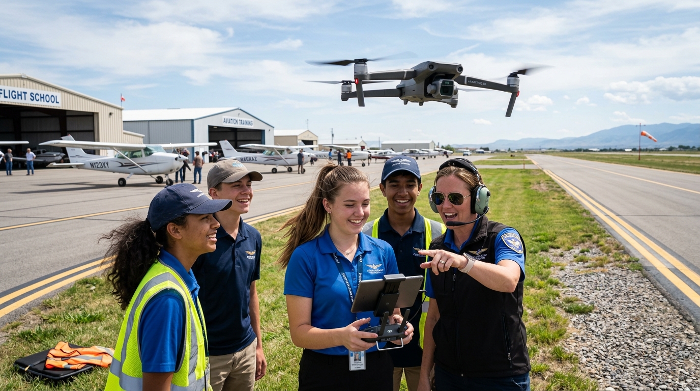
L1 : Foundational Training
Builds Aviation Awareness, Imparts Latest technical knowledge on robotics and aerospace, provides hands on training on basic flying by drone and shares knowledge about utilities of drone.
- Participants will be included in National UAS Operators (basic) list maintained by Bengal Aviation Initiative
- Attendees will receive bilingual certificate
- Career pathways and guidelines
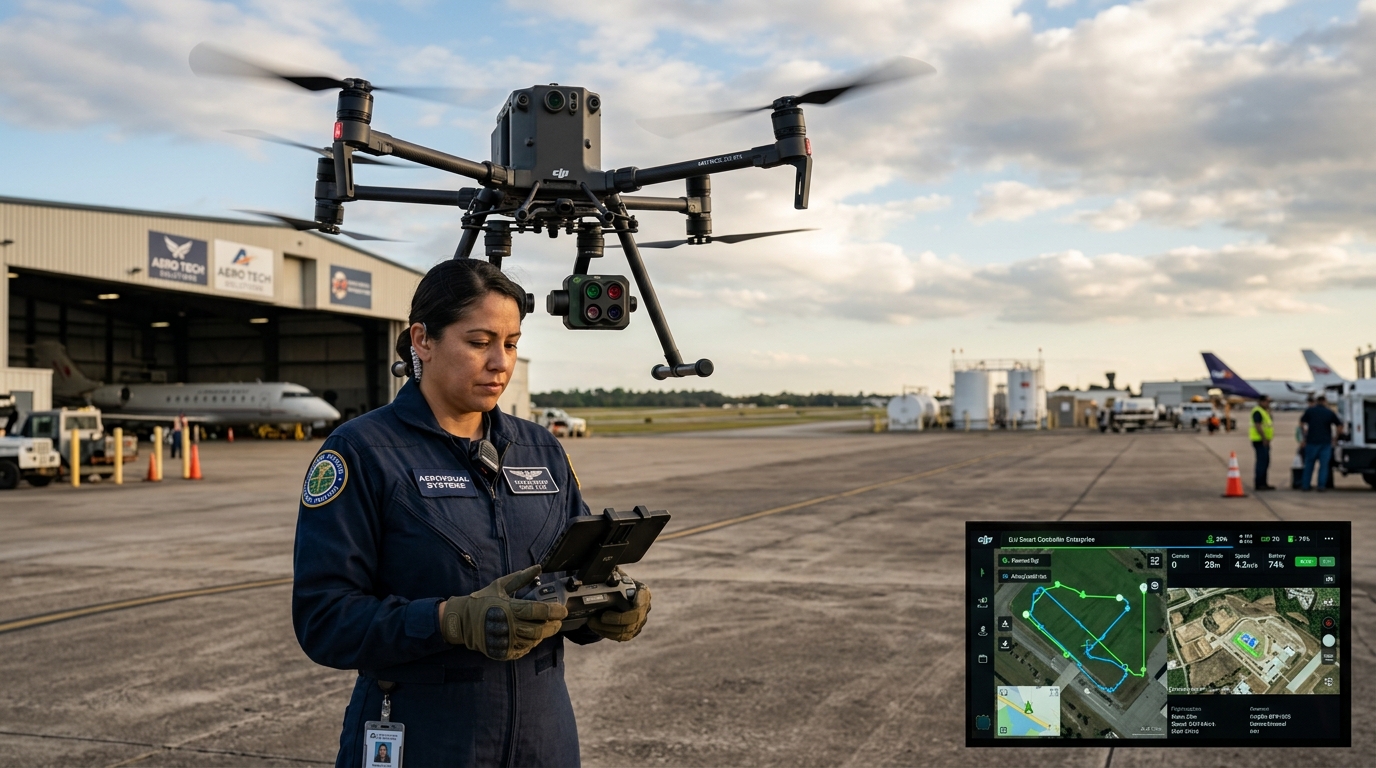
L2 : Advanced Training on Drone Utility and Usage
Deep dive into industrial drone navigation, multispectral data acquisition, BVLOS procedures, waypoint mission programming, and commercial operations.
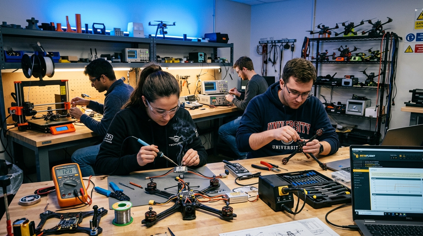
L3 : Hands on training on robotics and building
End-to-end robotics fabrication, custom ESC soldering, flight controller PID tuning, airframe structural analysis, and autonomous system integration.

Drone Racing
An ethereal experience of flying drone in a set pattern and with flight missions.

Green Marathon
The company is vested towards promoting shared living with nature and safe practices for codependent arising.
Proprietary Software & AI Systems Engineering
Pioneering native delta river management software, centimeter-accurate riverbank drone photogrammetry, and next-generation AI flight control systems integrated with high-fidelity digital twin simulators.
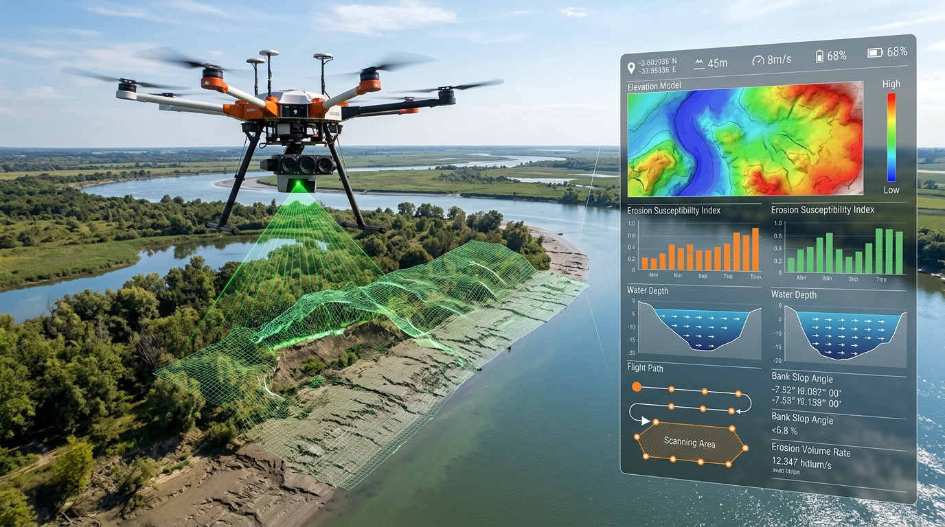
Proprietary River Management Software & Drone Riverbank Mapping
Engineered specifically for Bangladesh’s dynamic riverine delta, our proprietary River Management Software (RMS) integrates automated drone photogrammetry, multi-spectral thermal scanning, and digital elevation models (DEM) to map river banks with sub-centimeter accuracy. The system tracks sediment shifts, predicts rapid bank erosion, monitors flood embankment integrity, and generates volumetric erosion heatmaps to safeguard delta communities and critical infrastructure.

AI Systems Design, Flight Software Integration & Simulation
Our aerospace engineering lab designs edge-compute artificial intelligence architectures directly embedded into UAV flight controllers. By integrating deep neural network vision models with custom-compiled flight management software (PX4 & ArduPilot stacks), our drones achieve autonomous obstacle avoidance, precision target tracking, and GPS-denied optical flow navigation. Every software release undergoes rigorous Hardware-in-the-Loop (HIL) simulation testbench validation across severe wind shear, turbulence, and sensor failover scenarios before deployment.
Specialized Drone Support & Mission Profiles
Multi-sector aerial operations providing mission-critical intelligence, civic protection, and high-precision automation.
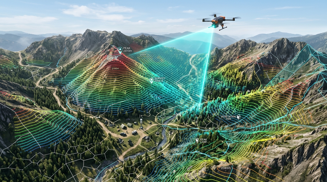
Geo-Mapping
High-resolution aerial photogrammetry, topographical survey, 3D terrain reconstruction, and GIS infrastructure mapping.
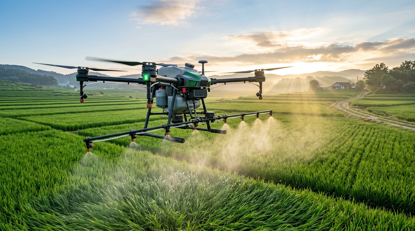
Agri Drone Support
Precision agriculture, multispectral crop health indices, automated fertilizer/pesticide micro-spraying, and yield estimation.
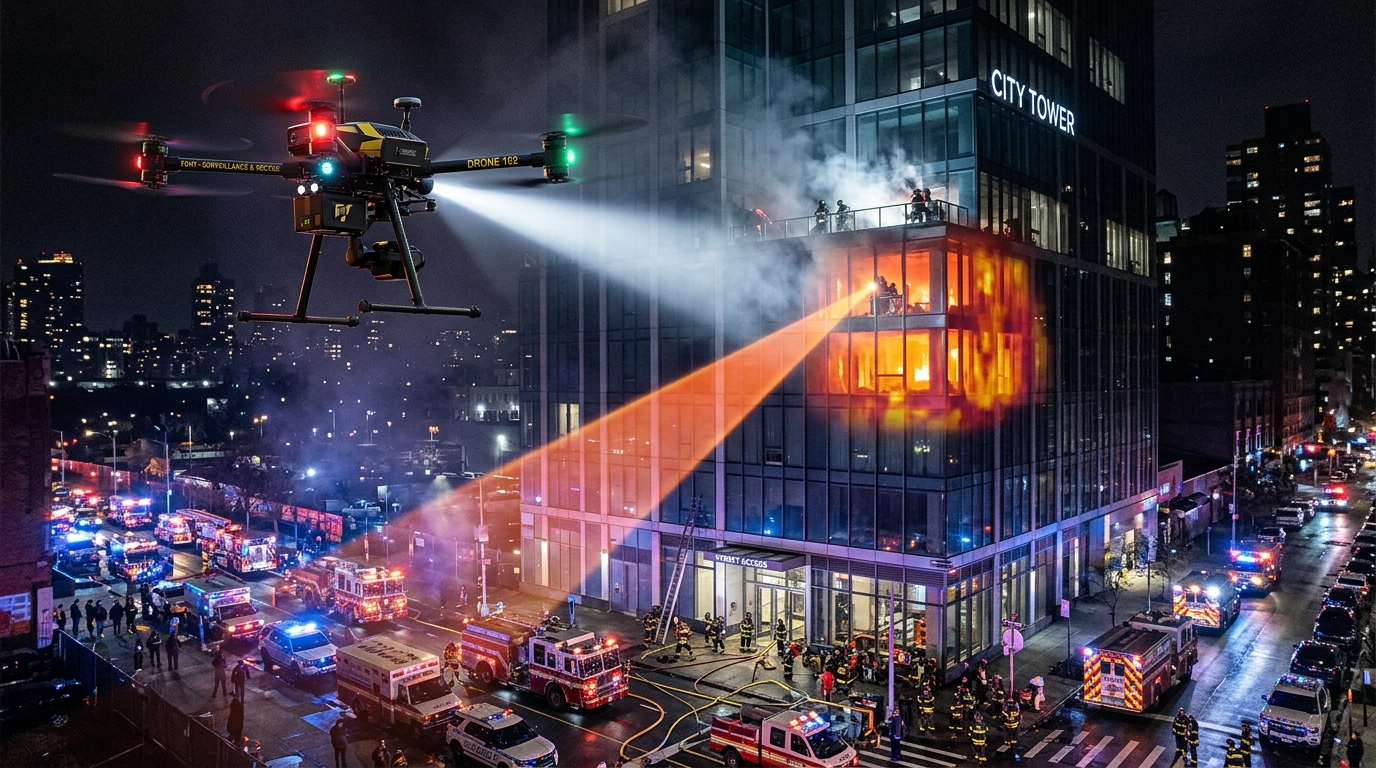
Urban Fire Support Drone
Tactical high-rise reconnaissance, real-time thermal hotspot sensing, hazardous chemical leak detection, and firefighting support telemetry.

Traffic and Pollution Management
Metropolitan congestion pattern analytics, airborne air quality & particulate sensors, and corridor monitoring.
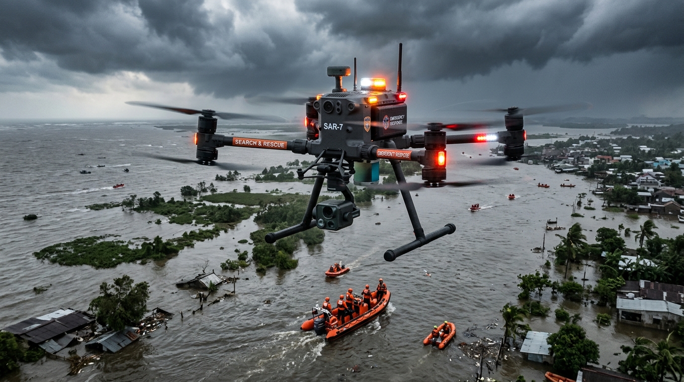
Disaster Management
Rapid post-cyclone and flood impact assessment, aerial search-and-rescue (SAR), survival coordinate location, and emergency communication relay.
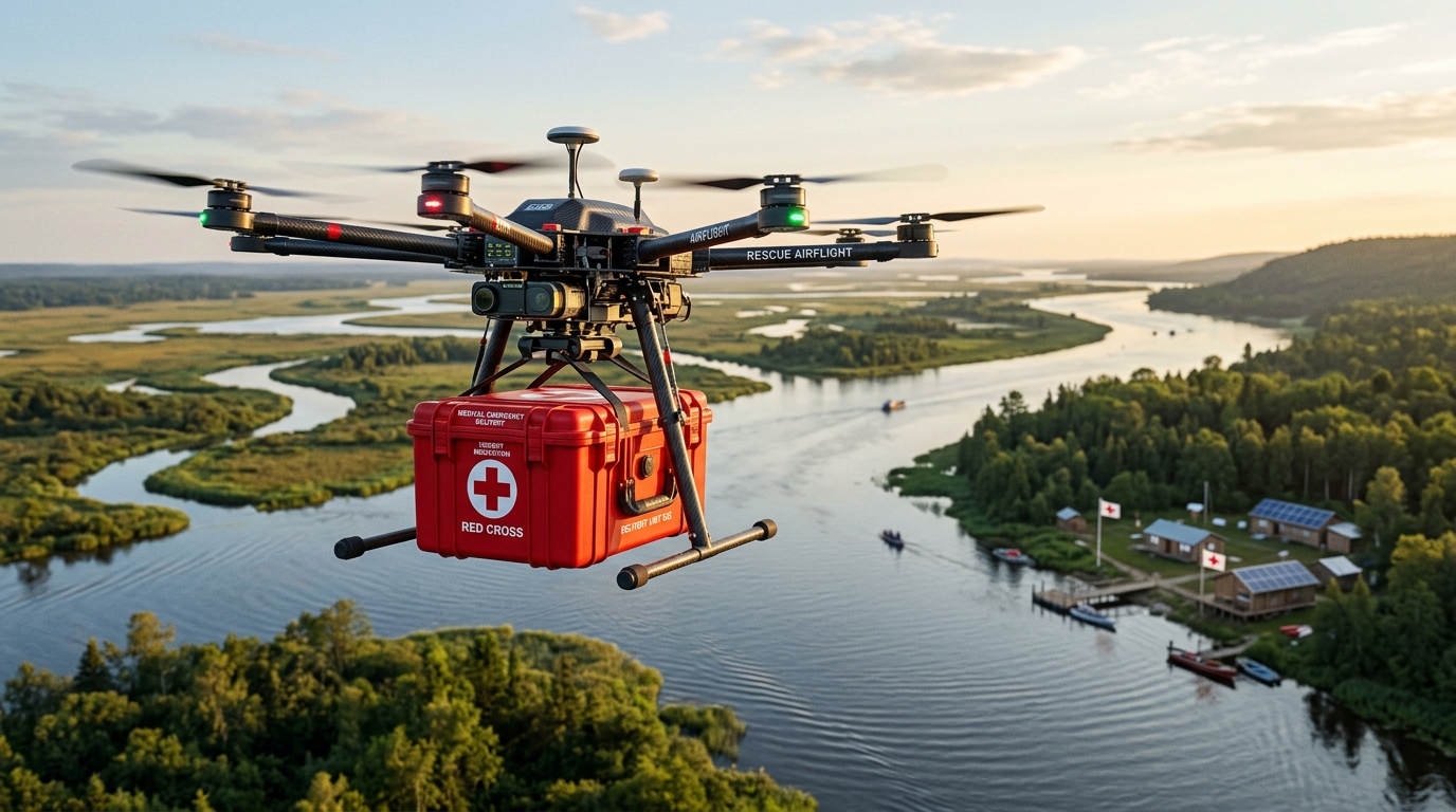
Remote Delivery
Autonomous point-to-point payload delivery of urgent medical supplies, vaccines, and emergency cargo to remote and hard-to-reach areas.
Secondary School Rural Drone STEM Workshops
In partnership with rural educational institutions, BAI conducts hands-on STEM workshops introducing secondary school students to aviation mechanics, flight physics, and drone piloting. Students gain real flight experience and receive Level 1 Drone Pilot certificates, establishing a nationwide grassroots pipeline for aviation talent.
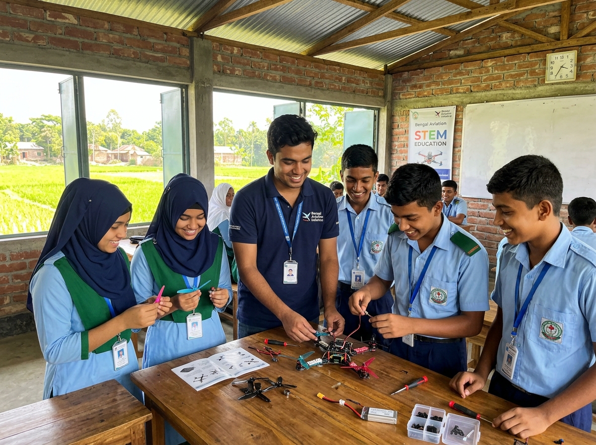 1. Hands-on aerodynamics, UAV assembly & manual flight coaching
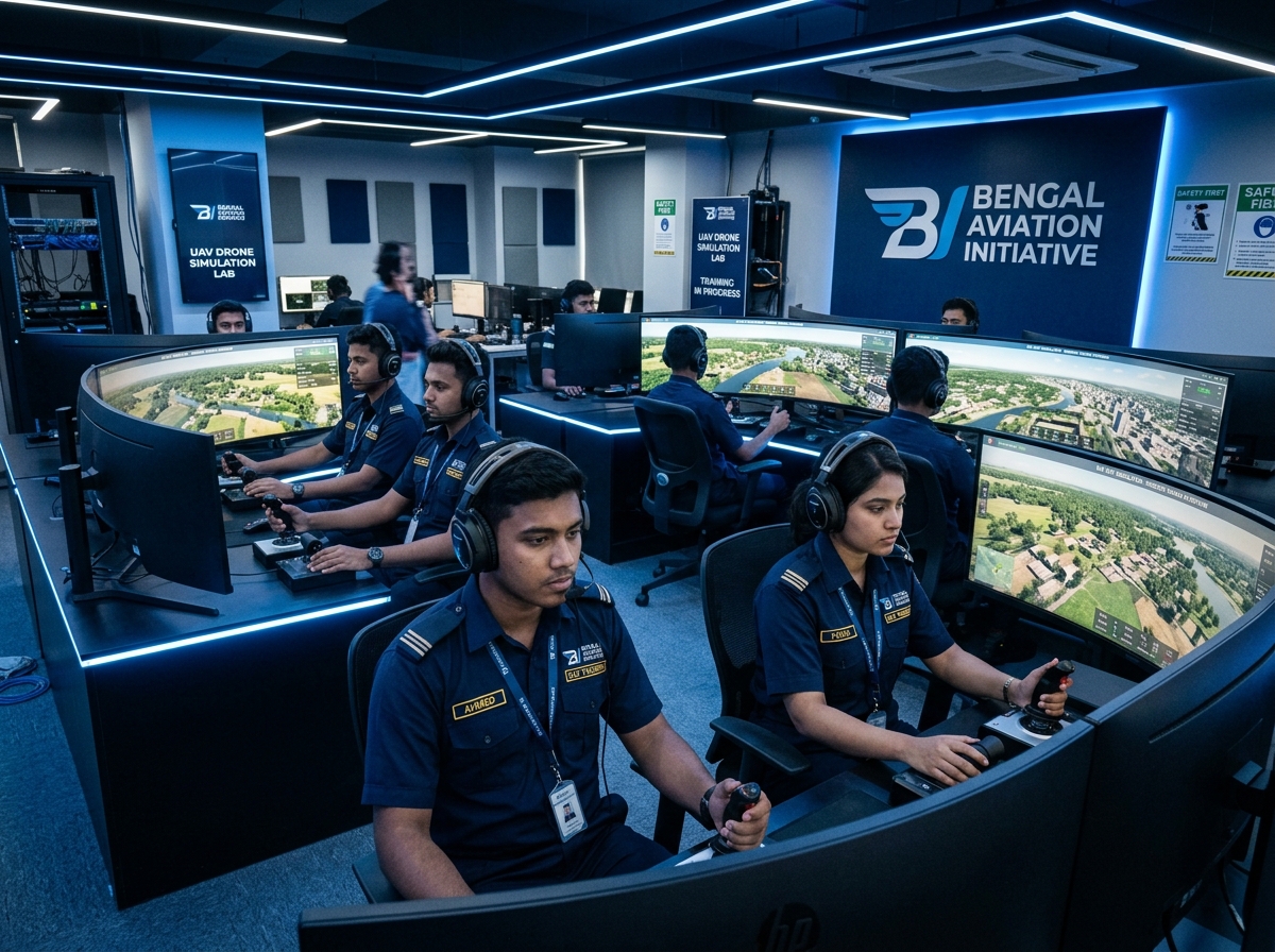 2. Level D Flight Simulation
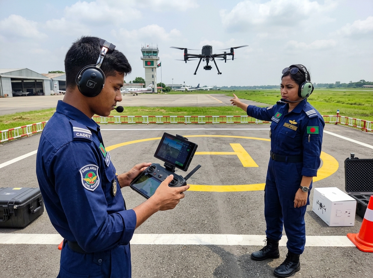 3. Level 1 Field Graduation Sortie
Get in Touch with Bengal Aviation Command
Official headquarters and flight line dispatch for pilot cadets, aeronautical engineering candidates, and drone operations across Bangladesh.
THE WINGED FEATHER CREST
Registered Corporate Insignia of BAI
Symbolism Behind the Bengal Aviation Emblem
Every curve and stroke of the Bengal Aviation Initiative crest is engineered to reflect aeronautical discipline, educational mentorship, and national aviation pride.
The upward soaring bird represents aerodynamic ascension, pilot navigation precision, and sovereign flight freedom across Bangladesh's skies.
Honoring the tradition of scientific discovery and education, the quill geometry embodies foundational STEM training and cadet scholarship.
A vibrant interplay of maritime teal, atmospheric cyan, and deep aeronautical navy reflecting certified safety and cloudless horizons.
Backed by certified unmanned aviation standards, regulatory compliance, and nationwide institutional project collaborations across Bangladesh.
Bengal Aviation Initiative Command Hierarchy
Real-time situational awareness, operating manuals, organizational hierarchy, live notice bulletins, and active flight logs.